Via Algarviana
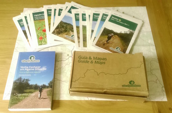
For my first walk in nearly a year, I decided to try out the Via Algarviana, which runs across the breadth of the Algarve in Portugal, from the border with Spain to the south-west tip, mostly passing some 20 or 30 miles inland from the coast. My route was a central section, starting out from Estoi, joining the Via Algarviana itself near Salir and on to Monchique in the highest Algarve hills. Online reports suggested the route was only partially waymarked, but I found it almost perfect, so much so that you could do it without a map (although this would be less fun, of course!). The first bonus was the wonderful free resource that the tourist office at Faro Airport gave me, including a book and 1:25000 maps for the whole route, various links, smaller routes and mountain bike tracks. Very kind.
Day 1: Estoi to Querença
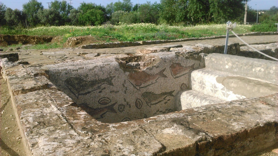
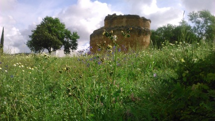
Starting out from Estoi (15 Euros by taxi from Faro airport), I first called in to see the Roman site at Milreu, a kilometre or so from the town. It has some reasonable mosaics, the ruins of a large temple and lots of wildflowers in a beautiful spot; however, I couldn’t say it is a must-see site.
|
|
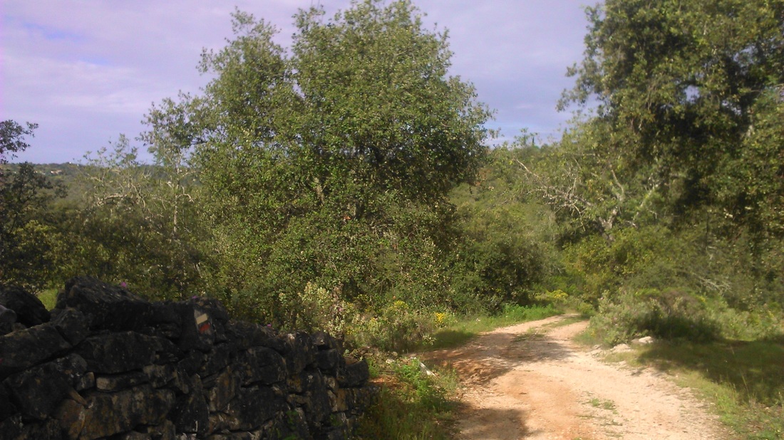
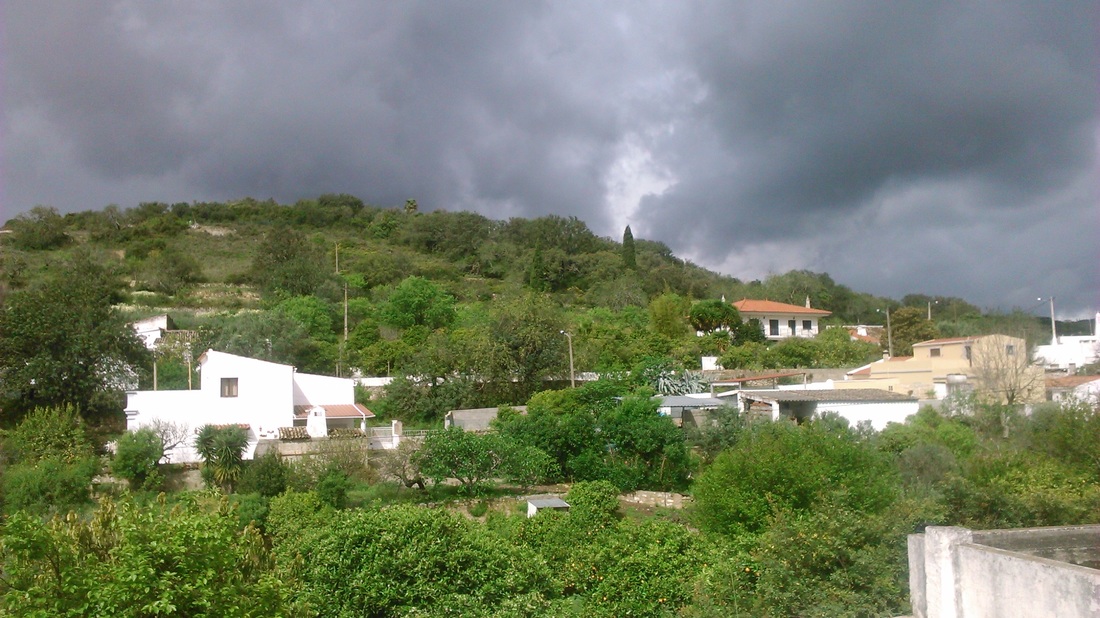
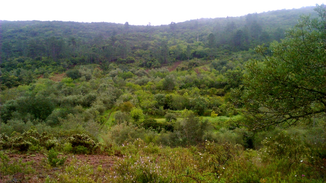
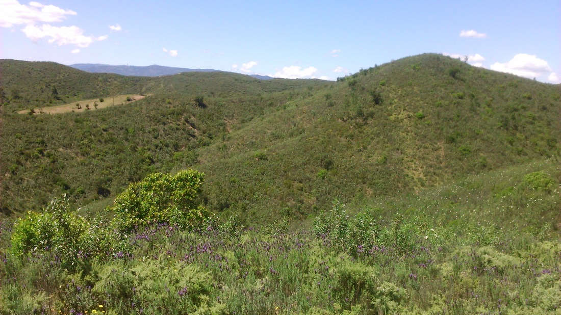
Heading on west and north in fairly cool weather, the main problem with my route (map-less at this point) is that it was all on-road. The minor M523 rose steadily passing through leafy orchards and gardens and the odd village like Bordeira before eventually descending into a valley and crossing the main N270 road. Climbing again, the character of the countryside changed almost immediately, entering upland moors, thick with scrubby vegetation and no agriculture at all: this I think is the ‘Barrocal’ - the name for the local limestone uplands which form the central part of the Algarve hills.
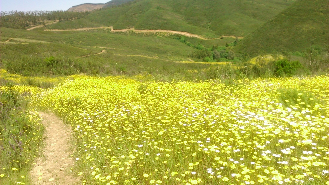
I stopped for a break at a cafe in the tiny settlement of Amendoeira, sharing the bar with chickens and cats, where i noticed a local walk signposted along the river Algibre slightly to the north. This offered an opportunity to get off the asphalt and even make a short cut towards Querença so I took it and immediately was guided through old cobbled paths through market gardens, wild flowers (orchids?) and down to the river.
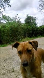
A dog joined me - he turned out to be the friendliest one I encountered, as vicious barking dogs at every other country house were not the nicest feature of the walk. When I eventually rejoined the main road, maybe four or five km later, he was still with me and I had to shout at him to give up on my company and return home sadly.
A dog joined me - he turned out to be the friendliest one I encountered, as vicious barking dogs at every other country house were not the nicest feature of the walk. When I eventually rejoined the main road, maybe four or five km later, he was still with me and I had to shout at him to give up on my company and return home sadly.
|
|
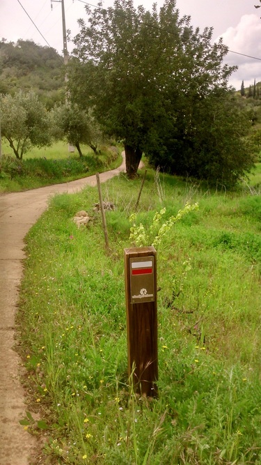
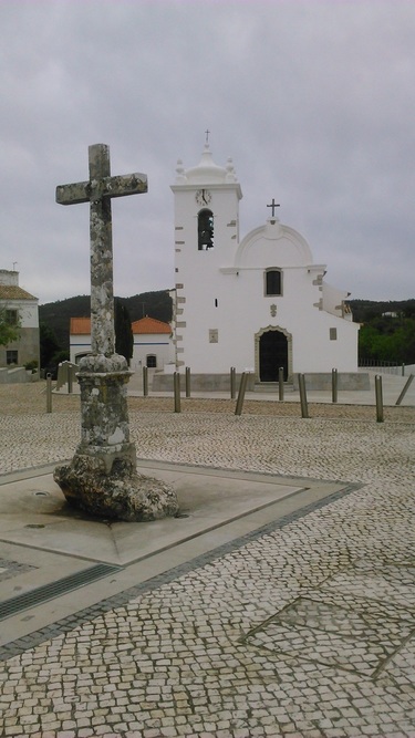
It was around here that I came across my first Via Algarviana sign, the first of many more, as I joined the ‘Link 2’ from Loule to Salir. Heading up the hill to Querença, which sits on top of a small hill, I got slightly lost trying to take a short cut and skipped through someone’s back garden. After poking around the main square (one bar, one restaurant), I carried on to the night’s lodgings at Monte dos Avos less than a kilometre to the north for an early finish after a fairly short day. There is a restored poço (well) in the garden.
|
|
Day 2: Querença to Alte
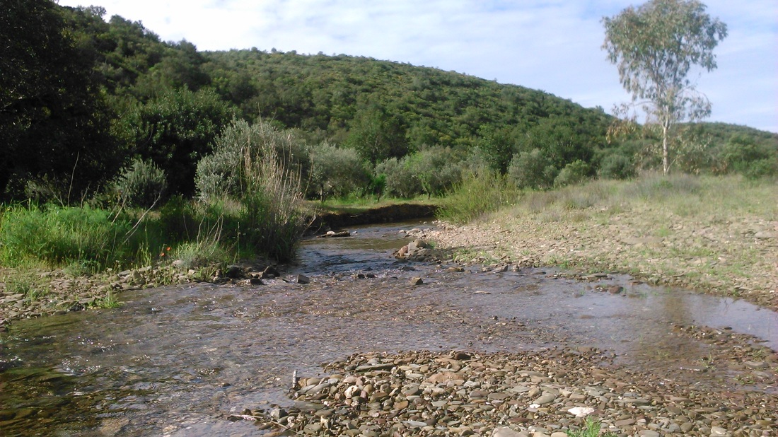
So, after a short stretch north along the M510 road, this was the first proper day on the Via Algarviana itself. The path crossed the Rio Seco which wasn’t ‘seco’ (dry) at all, but was easily forded with shoes and socks off.
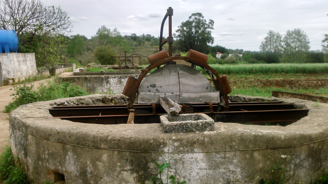
Approaching Salir, I managed to lose the route during some fiddly twists and turns, so spent another kilometre or two on a tarmac road. I had a quick poke around the town, which is dominated more by a massive water tower than its rather hidden castle, and set off west for Alte. Not far on, towards the village of Almarginho was an interesting section of low-lying farms and fields full of old ‘poços’, often with water wheels, and various fontes (springs) and water channels. Together with the place-names, I think these are part of the Arab heritage of Portugal.
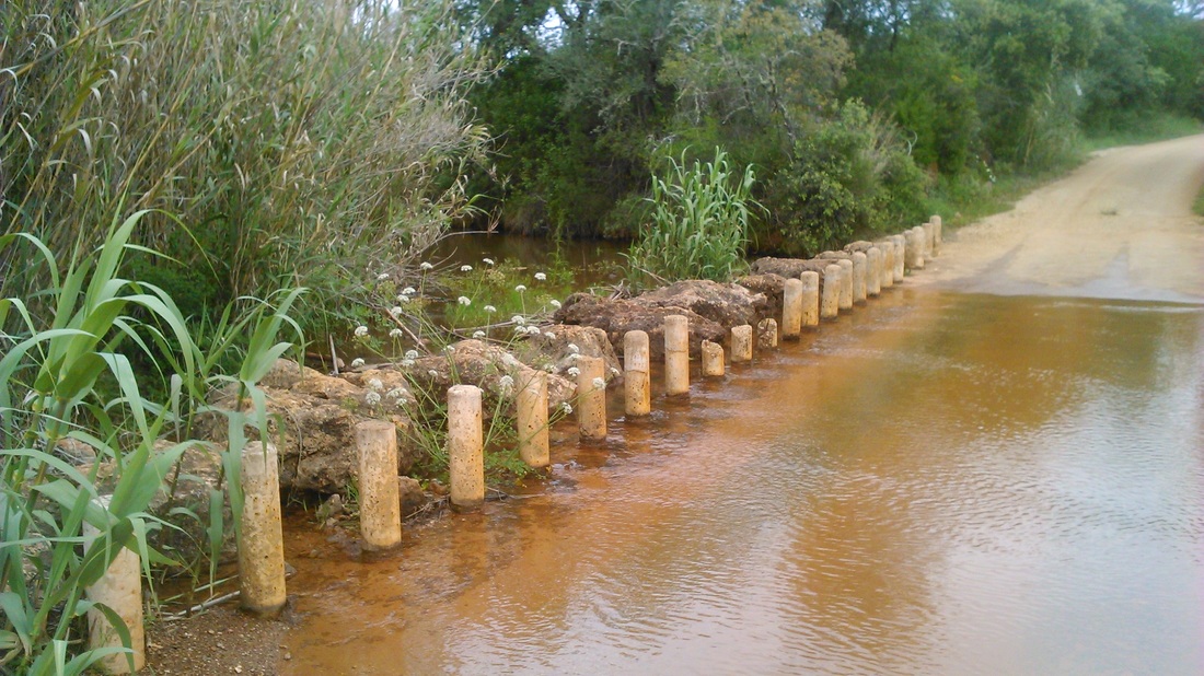
A weird bit of way marking indicated the route was closed, although the track ahead was clearly visible. The waymarking signs diverted you instead back on yourself in a loop…presumably the work of an unhappy landowner..? So I just headed through the ‘wrong way’ sign which sure enough turned west and on to Benafim, another Arab place-name. Here, I cheated a little, as my feet were getting a tad sore on this first longish day, by heading west along the pleasant direct Rua da Humbria, rather than heading back up into the hills along the Via Algarviana itself. This crossed the Ribeira da Freixa at a very nice spot, with massive stepping stopes provided to avoid getting wet feet so I stopped for a drink and rest, hoping maybe to spot a kingfisher.
The hills closed in as the path neared Alte at the tarted up local beauty spot of Fonte Grande and Pequena. As often is the case, I had trouble finding my hotel (Hotel Alte) because I hadn’t bothered to look up exactly where it was, so I ended up walking another couple of km on tarmac roads before I could check in. I promised myself to try in future to avoid spending half an hour or more trudging on tarmac roads after a long day…
Day 3: Alte to Sao Bartolomeu de Messines
The day started with some pleasant walks along the contours of the typical low Algarve hills, passing hamlets like Perna Seca and Torres before following a quiet deserted valley (Vale Vinagre) for an hour or more. The odd hoopoe was spotted in the mist and a couple of horses. It is strange how few farm animals you encounter in the countryside, despite many fields of chest-high grass that seem crying to for a goat or two.
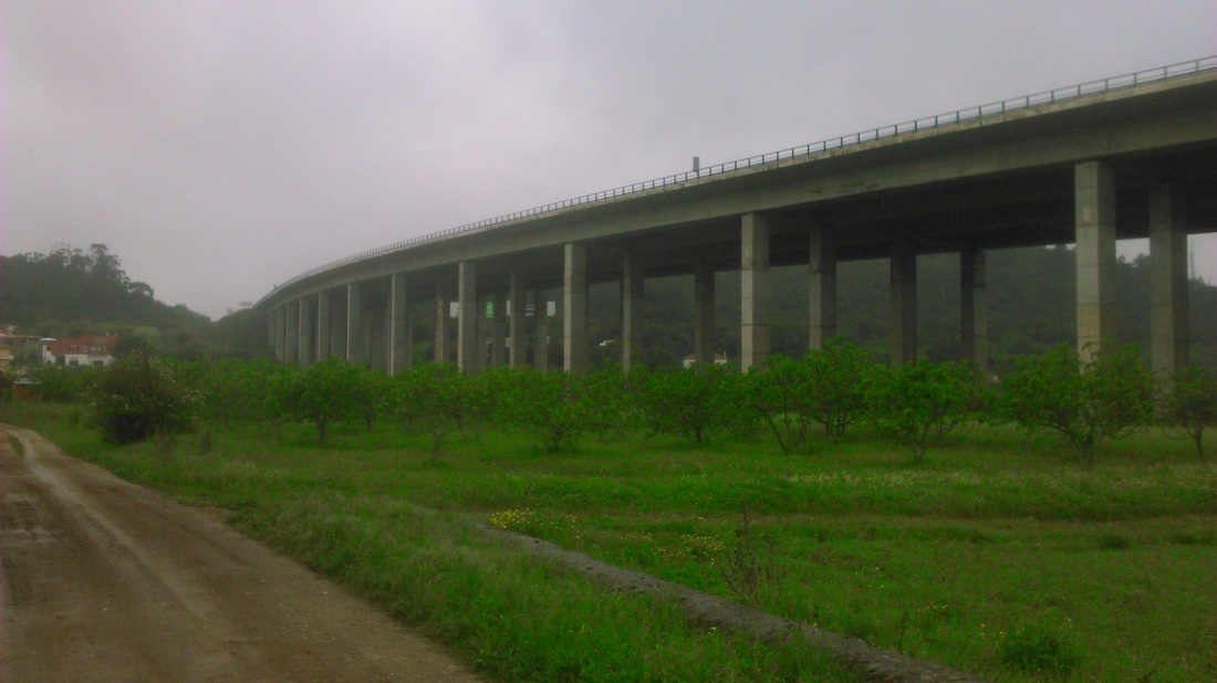
As the valley opened up, the path turns south and the A2 expressway comes into view, an incongruous sight after the bucolic countryside on its massive raised pillars over the river valley. The path went through some fields (with cows and pigs!) before climbing up to the village of Portela de Messines. This was presumably an important gateway before the new motorways were built but was now deserted, apart from a small group of men under an awning, who turned out to be butchering a couple of fresh carcasses (sheep? pigs?).
|
|
|
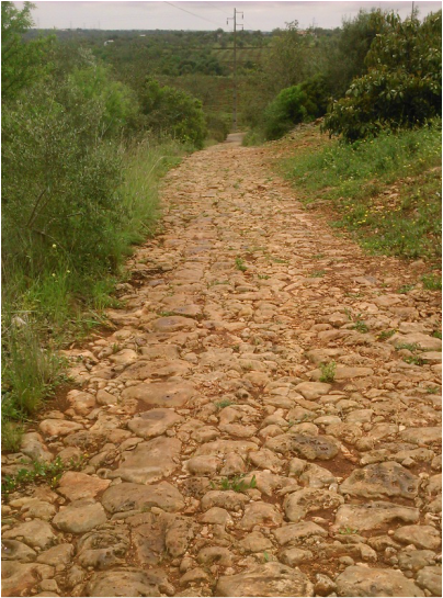
Crossing the A2 through a tunnel, and then after a large or grange grove, also crossing the only-slightly smaller IC1 road, the path crossed some more tiny semi-derelict settlements before dropping into the valley of the Ribeira Meirinho. Immediately on crossing this, the path turns onto a broad straight stretch of stone-paved old road, which looked to me Roman in origin although I couldn’t find any reference to this from a little googling…
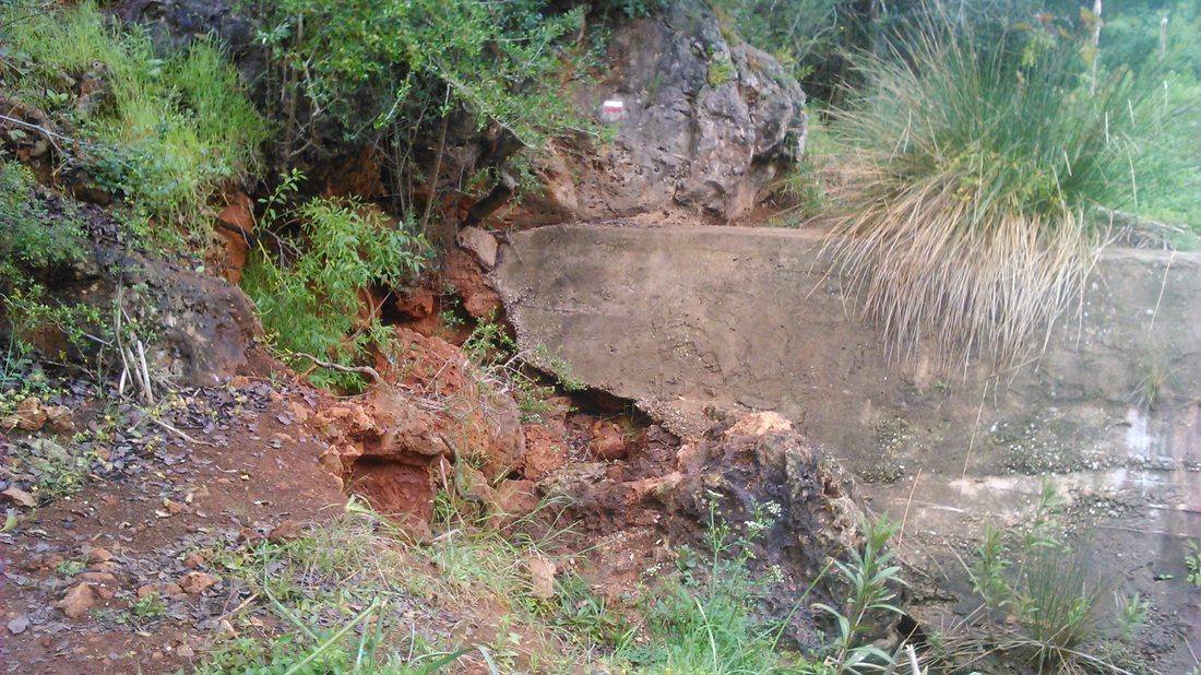
The Via Algarviana was signposted almost immediately off to the right (not indicated on the map) down by the water course, so off I went. The weather up til today had been cool but fine; but today drizzle dominated. This wasn’t heavy enough to be problem except that as I ploughed through the soaking riverside vegetation I too got soaked. In a couple of places the path has been badly eroded but it is easy enough to find a way through and before too long, the path comes out of the valley again and joins the N264 for another spot of asphalt trudging to finish the day. |
|
I spent the night at the lovely Bartolomeu Guesthouse, which reported many visits by walkers on the Via Algarviana. If you pass through, stay there - it is comfortable, friendly, cheap and has a cute little roof terrace and fantastic food.
Day 4: Sao Bartolomeu de Messines to Silves
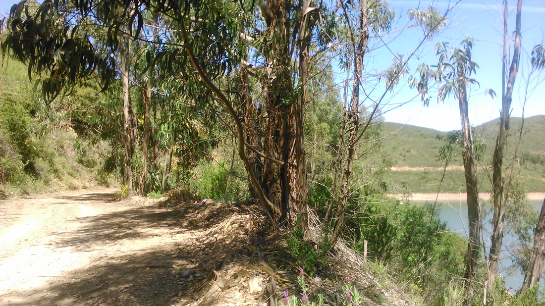
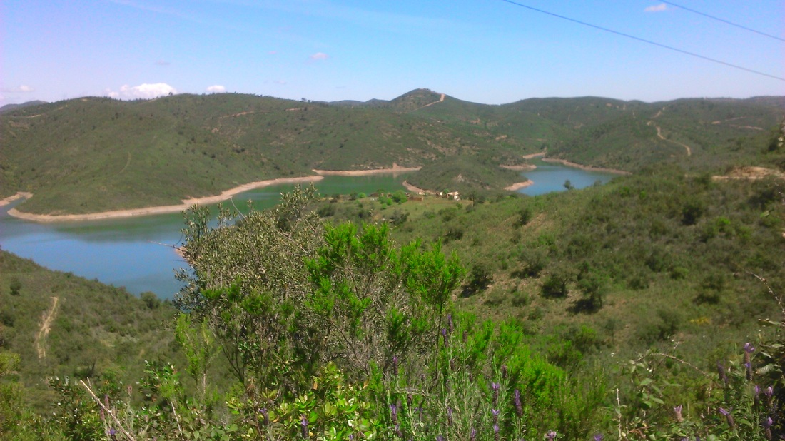
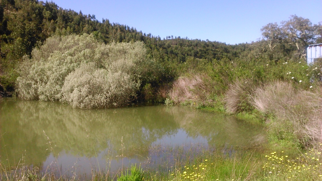
This was a reasonably long day (28km) which appeared to have three distinct sections - from Messines to the lake, along the lake shore, then finally up into the hills until Sives. I wanted to make good progress so didn’t stop until I reached the lake - or rather reservoir formed by the Funcho dam. This was indeed quick and pleasant and I reached the lake within two hours of setting off. The reservoir looked maybe just over half full after a relatively wet winter (no doubt welcome in this part of the world). The path around the lake is a broad dirt road, so a little monotonous, but pleasant al the same sometimes shared by eucalyptus.
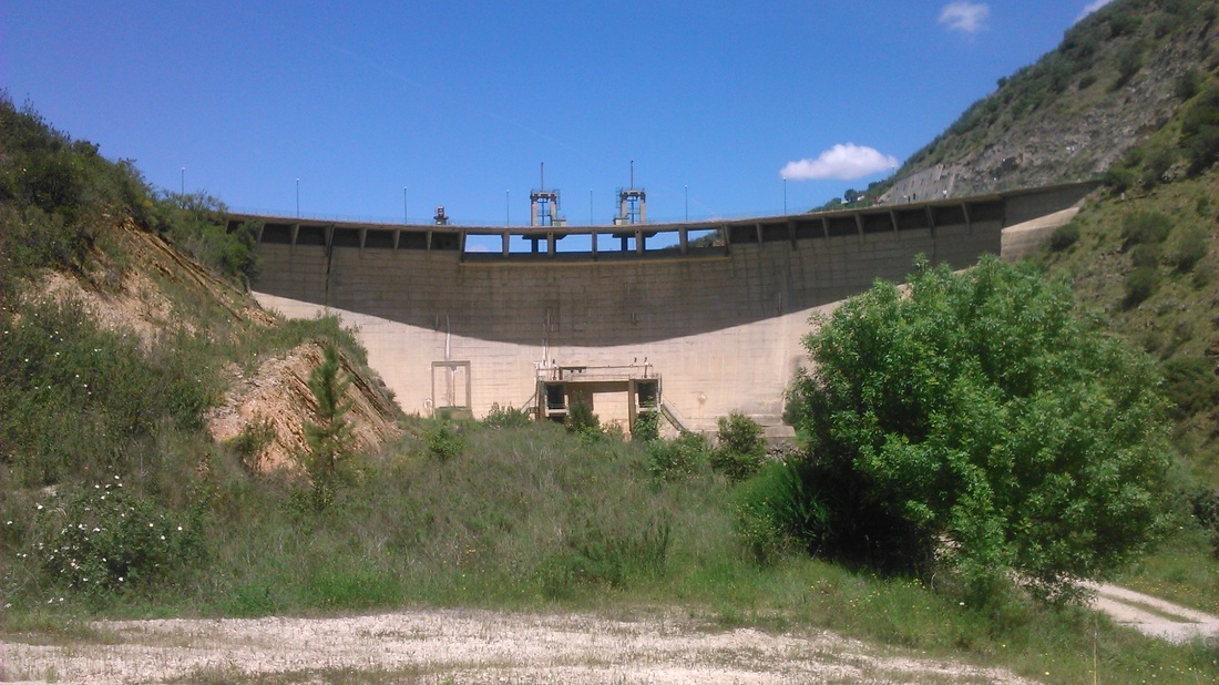
I looked for birds of prey, but saw none - in fact I saw none in the full five days of walking…why is this? After a lot of twisting and turning, I arrived at, and crossed the dam. This being a Sunday I had rather hoped to find a weekend bar for a cold coke (the weather was now warm) but no such luck.
The final section is the longest - firstly a bit of a climb up a valley into the hills and then a meandering long trek down through the hills to Silves. Ton this (west) side of the Rio Arade (the river dammed at Funcho) the foothills of the Serra de Monchique have no farms, just rather barren forest plantations (eucalyptus, pine) and scrub. The views to the east and the south (sea clearly visible) are pleasant enough but there is little to divert you as the path heads on. Just before the end of the path, I did come across a group of strange birds by the stream bed with striking black caps, which turned out to be azure-winged magpies, probably the most exotic species yet encountered. The Via Algarviana ends just before the suburb of Enxerim, and my hotel was down in Silves itself, so…a good couple of extra km on the asphalt to finish the day (again).
|
|
Day 5: Silves to Monchique
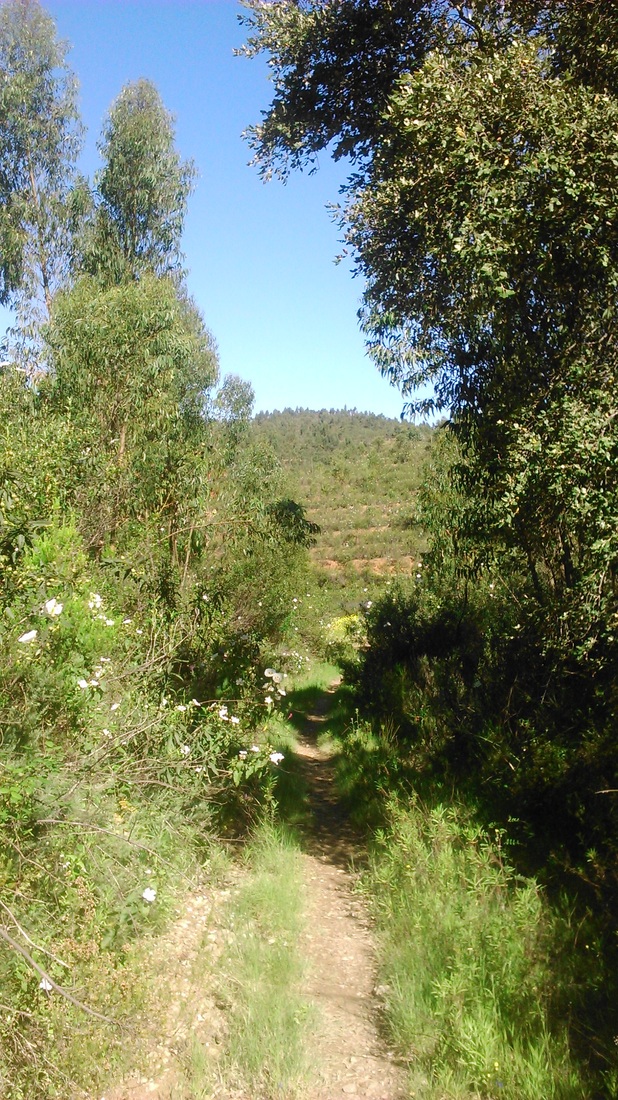
My final, and longest, day was 28.2km according to the guide, but with another three or four km to be added at beginning and end. It also climbs to the highest point, crossing the Picota Peak at 773 metres from low-lying Silves so would involve more steep walking than I had yet come across. Although hardly alpine, I was keen then to set off early, and got away at 8.15. As I walked, I realised that the climbing only really starts after the halfway point of the day - the first section crosses the low forested foothills and valleys of the Serra similar to the previous day without gaining much height before descending into the major river valley of the Odelouca, not many metres’ altitude above Silves.

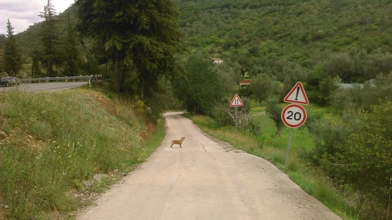
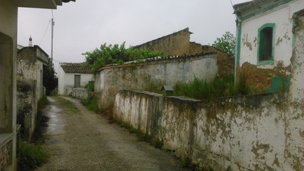
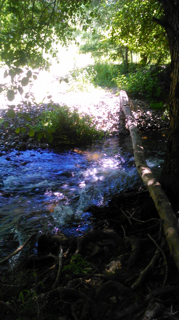
On the way, the path crossed a few tiny abandoned remote settlements like Romano, with fields and ponds which had clearly once supported small communities perhaps not so long ago. The path eventually dropped into a tributary of the Odelouca and finally joined it (past some particularly ferocious dogs). After a couple of kilometres along an asphalt road, the path went off to the left and began the ascent of Picota. Up to this point, I was well on schedule; however, my progress was stalled firstly by having to cross the Ribeira da Monchique at least three times, in short succession which was fairly full following recent rain. For the first crossing, I slid inelegantly along a tree trunk placed there to help cross the stream. The second, I waded across with shoes and sock off, uncomfortably with bare feet on slippery rocks. For subsequent crossings, I didn’t bother putting my socks back on but just walked across in my walking shoes. This worked best.
|
|
After these obstacles, the path then rises quickly, sometimes through some beautiful meadows, and as you get higher, into some cork oak woods. The summit of Picota seemed to take a long time arriving (don’t summits always?) but eventually I arrived there, around 5.30 pm.
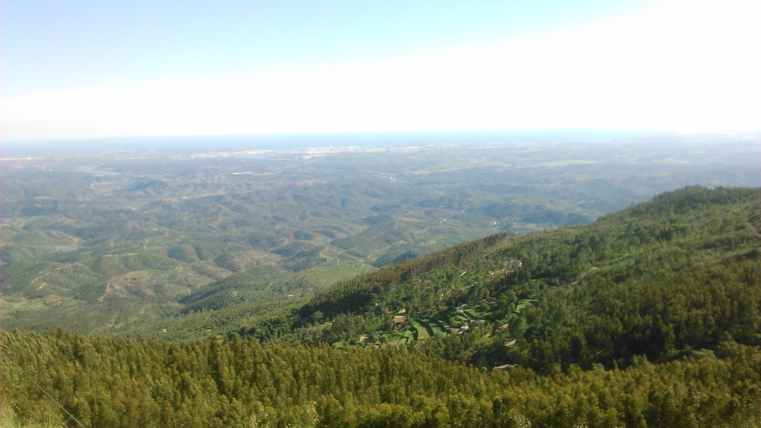
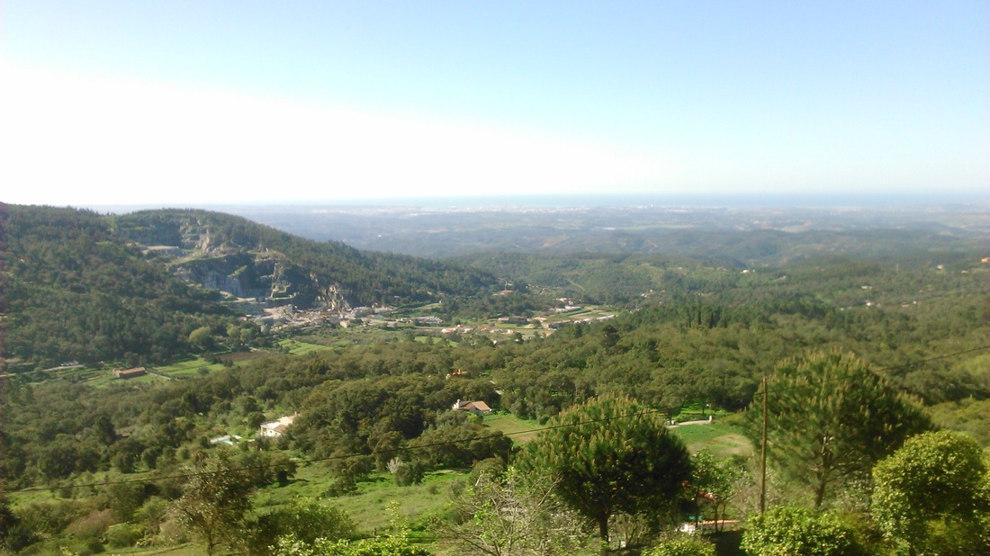
The village of Monchique was about another hour’s walk; but my hotel was a couple of km on the far side of town, so it was another half hour before I arrived at the Estalgem do Abrigo do Montana, pretty knackered. I wasn’t overly pleased to hear that no bar or restaurant was open, so another short outing was required for refreshment….The Estalgem by the way would have a lovely view south to the coast; except that a super-quarry has inexplicably been allowed to scar the beauty spot.
So that was the end of my walk. A lot of effort has clearly gone into making and promoting the Via Algarviana: highlights to me were pleasant (rather than spectacular) countryside and flowers, pretty good food and hotels mostly. April is a good time to walk it if you don’t mind risking a few showers.
